New observational tools for remote monitoring of the marine environment and their application in groundwater discharge (SGD) and seabed studies

 Project title
New observational tools for remote monitoring of the marine environment and their application in groundwater discharge (SGD) and seabed studies
 Name of Beneficiary/Beneficiaries
Noa Sp. z o.o.
 Name of programme
International programmes
 Competition
BONUS call 2015: Blue Baltic
 Project value
PLN 3,112,475.28
 Funding value
Funding from the Centre's budget - PLN 1 039 606.84
Co-financing from EC budget - PLN 1 039 606.84
Own contribution - PLN 1 033 261.60
 Project delivery period
from 01.04.2017 to 31.12.2020
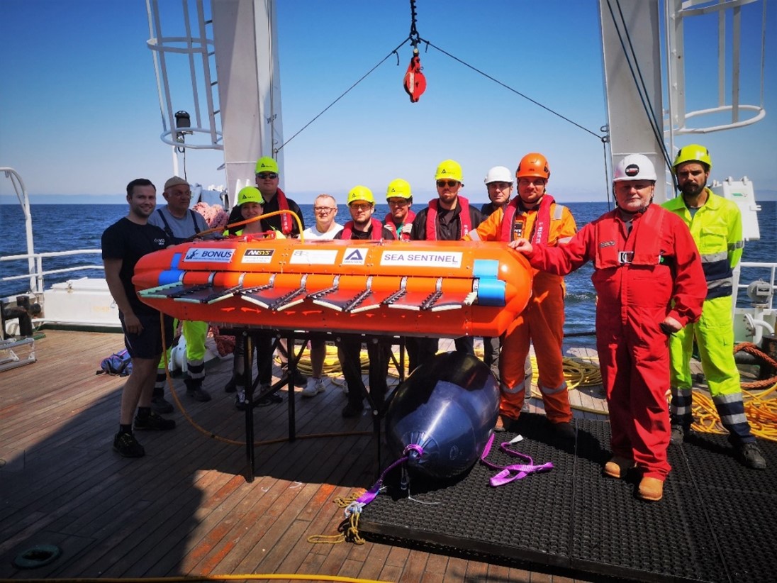
See the result of our work
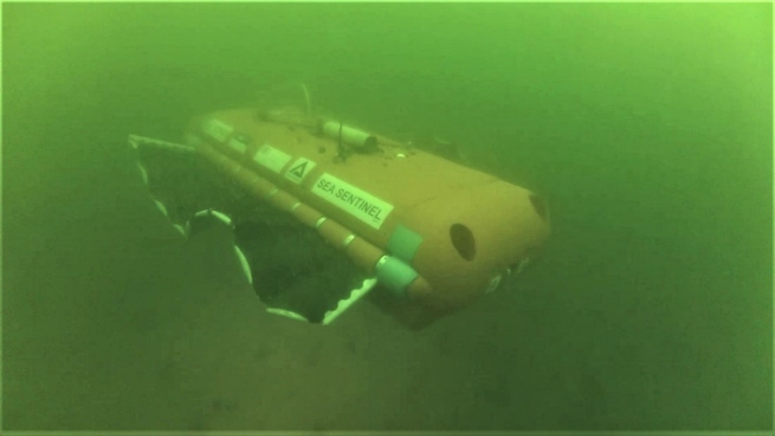
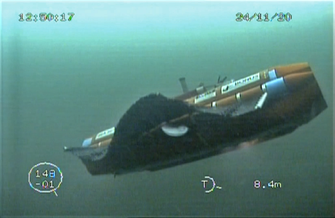
Video of test cruise in remotely operated vehicle (ROV) configuration
Video of maritime missions in autonomous configuration (AUV)
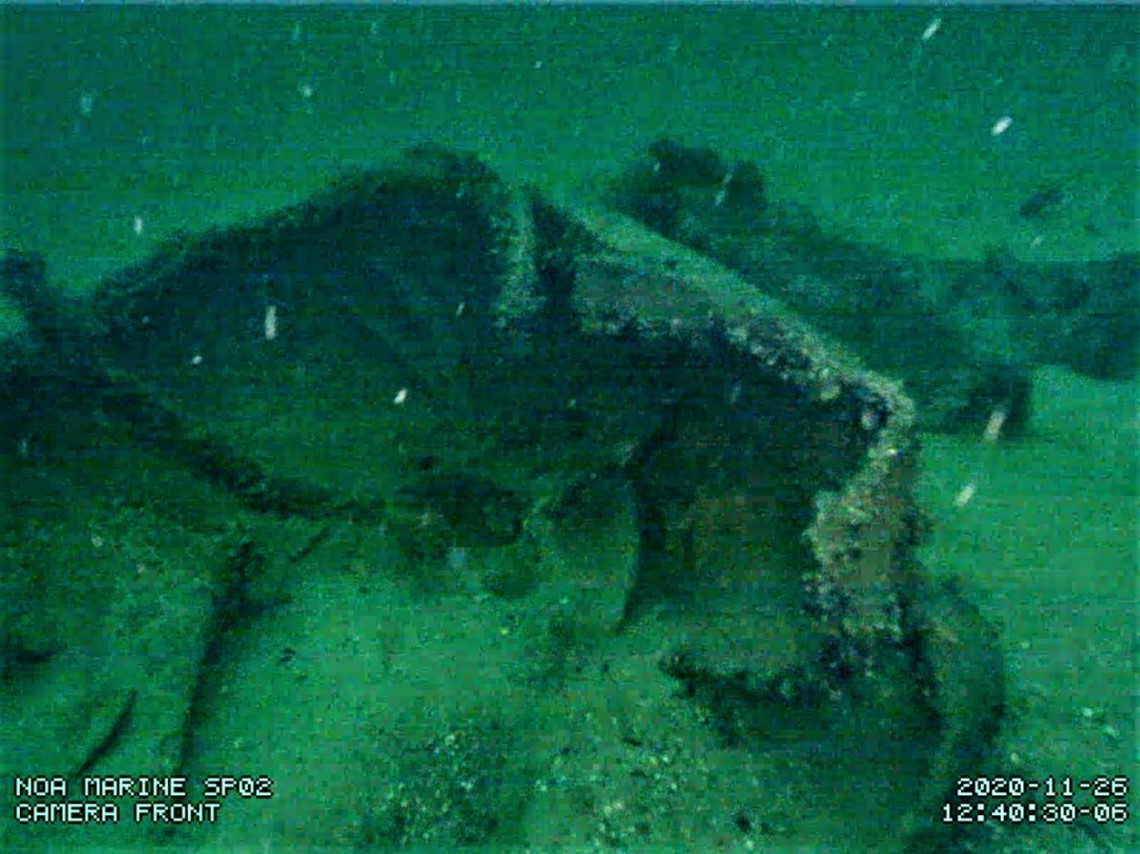
Current status of the facility
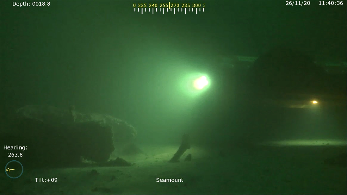
Current status of the facility. Image from the assisting robot
What problem does our project solve?
The scope of the project is in line with thematic objective 5.2 of the BONUS Research Agenda – Development and validation of modern remote research techniques in the Baltic Sea area. The SEAMOUNT project concept was developed in response to the problem of increasing eutrophication of the Baltic Sea waters. According to the International Commission for the Protection of the Marine Environment of the Baltic Sea (HELCOM), the Baltic Sea has the status of a ‘eutrophic’ reservoir, which means an abundant nutrient content in the water causing negative physical, chemical and biological changes and disturbance of the ecological balance of the ecosystem. Research to date has focused on pollution from river tributaries and air, thought to be the cause of a tenfold increase in hypoxic water areas over 115 years. The SEAMOUNT project, on the other hand, focuses on investigating the impact on the aquatic ecosystem of groundwater infiltration into the seas. Submarine Groundwater Discharge (SGD).
The main objective of the project was to develop and experimentally validate a state-of-the-art solution for remote in situ survey of the Baltic Sea ecosystem. The work planned in the project was carried out in collaboration within a consortium of 7 entities from 4 countries in the Baltic Sea Region.
The technology developed within the project by the NOA team is characterised by the following features/unique parameters:
- Resistance to entanglement in vegetation and other obstacles it may encounter in a self-contained environment, e.g. ropes, nets, lines.
- Very quiet operation - no impact on aquatic animals.
- The robust, patented NOADRIVE bionic drive provides high efficiency, power and manoeuvrability and long times between battery charges.
- The large payload (up to 100kg), allows the installation of more sensors, additional energy and equipment.
- High manoeuvrability with heavy payloads = possibility of installing many different sensors during a single mission.
- Thanks to the high static thrust of the NOADRIVE system, vehicle inertia is reduced to a minimum. Even with a maximum load of up to 100kg installed, the vehicle stops from walking speed to zero in less than one metre so that overall mission safety is significantly increased.
Vector ballast system ensures the ability to stay on the bottom for a long time and glide long distances even with a heavy load.
Who is going to benefit from the project results?
The NOA Marine team is implementing a service using swarms of unmanned underwater vehicles that, left in an area, without human intervention, will autonomously carry out tasks related to its exploration or surveillance. NOA Marine will enable its Partners (such as service companies) to collect data faster for their customers, while sustainably using and protecting our planet's resources by supporting the development of the Blue Economy in the areas of offshore wind / oil and gas / marine and ocean aquaculture / scientific work / marine and ocean mining.
The data collected in the project was made available to the scientific community and public institutions involved in maritime regulation.
Market applications of the unmanned data collection service include:
- Continuous monitoring of underwater infrastructure
- Offshore investment and inspection of offshore platforms (XMT pipelines, connecting lines, jacketing and infrastructure)
- Leak detection and monitoring of greenhouse gas emissions from decommissioned wells.
- Installation condition inspections and site remediation inspections for the oil and gas sector
- Sonar search over the entire project area
- Detailed bathymetry throughout the development area
- Preliminary seismic bottom profiling over the entire project area
- Monitoring the integrity of structures, e.g. pipelines (laser scanning, acoustics, video)
- Inspection of cable routes, masts and anchorages
- preliminary search for objects with a magnetic signature UXO (unexploded ordnance) along cable routes and at the location of masts or anchors
- Immediate surveillance (on request) of a designated location / structure
- Measurements of bottom currents over large areas in the short and long term
- Sampling of water and solids at designated stations