The Geodetic and Cartographic Service Conference
07.05.2026

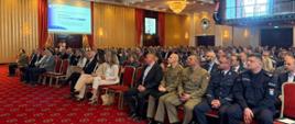
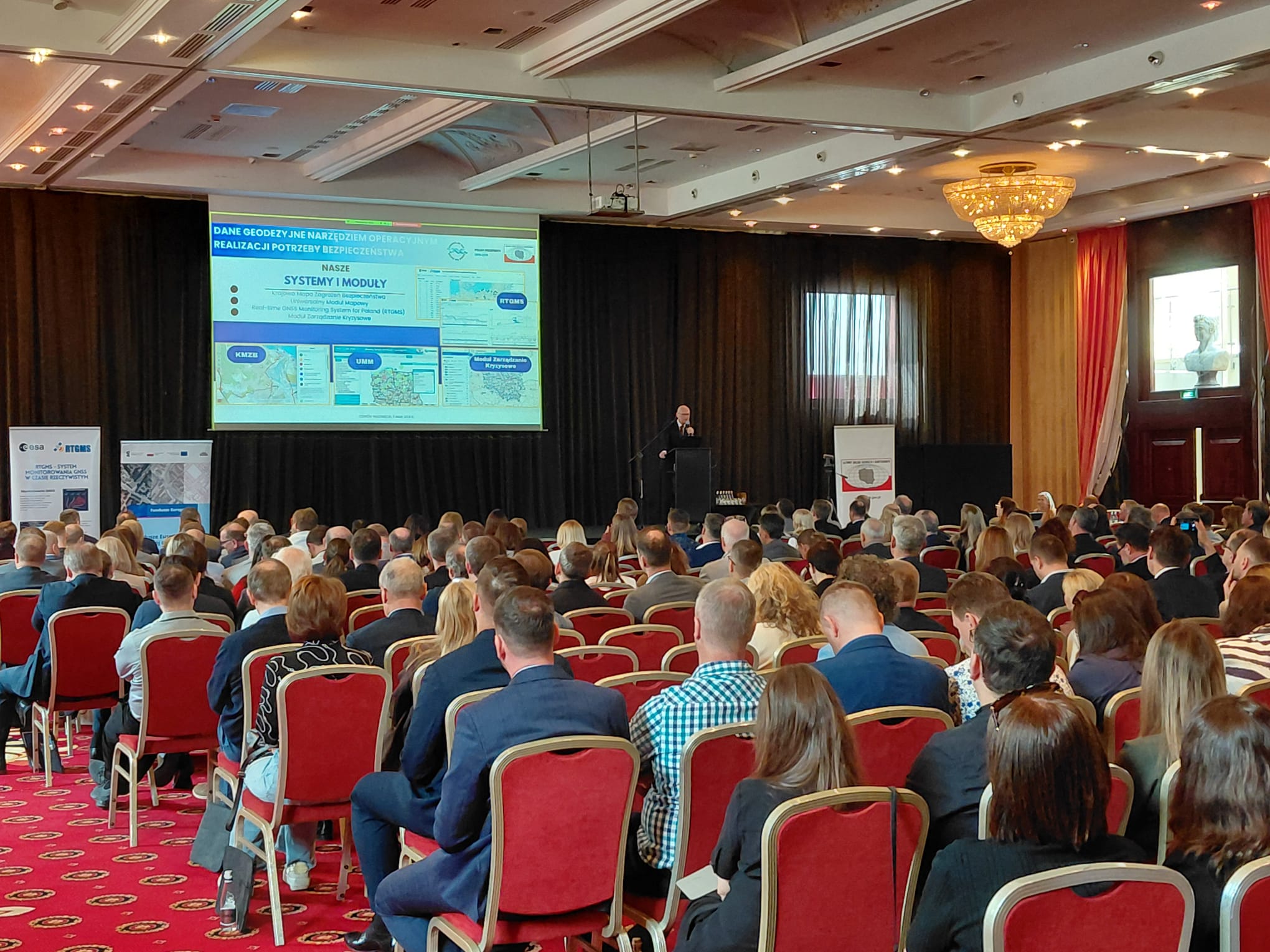
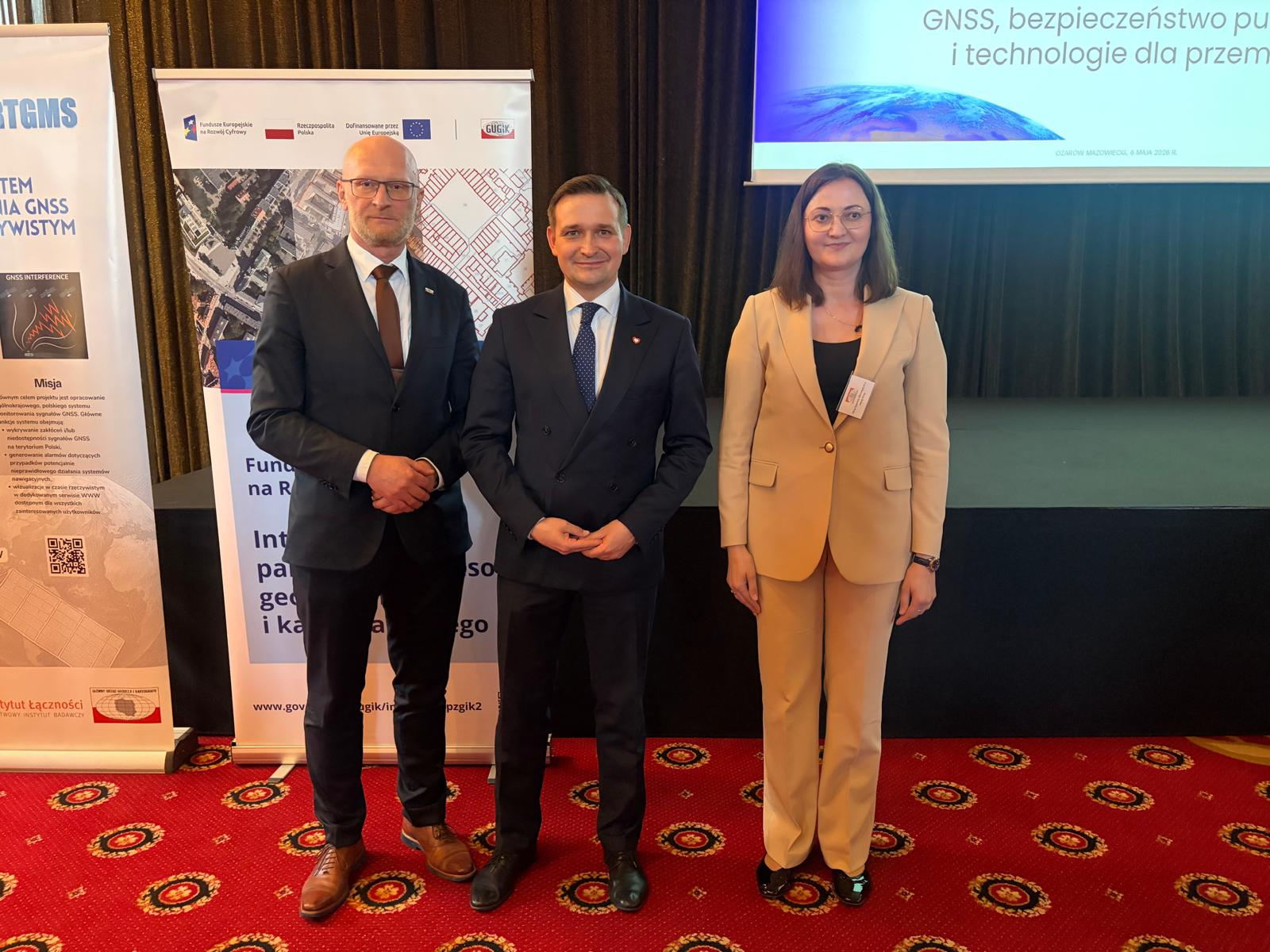
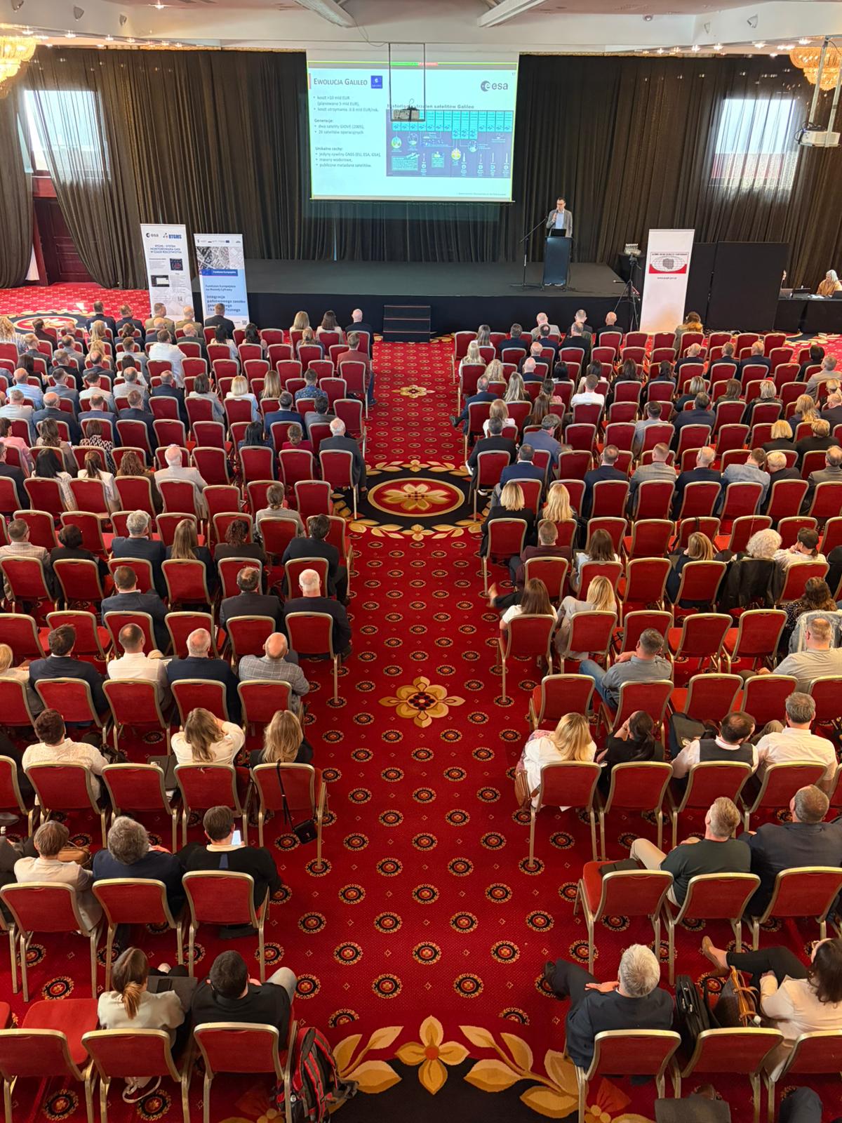
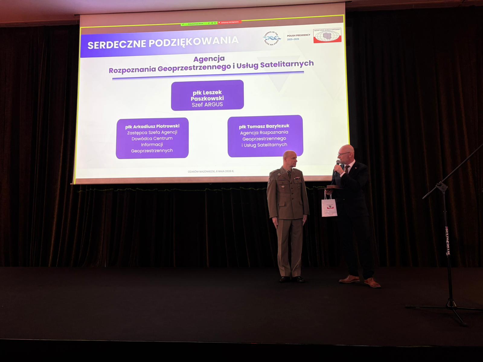
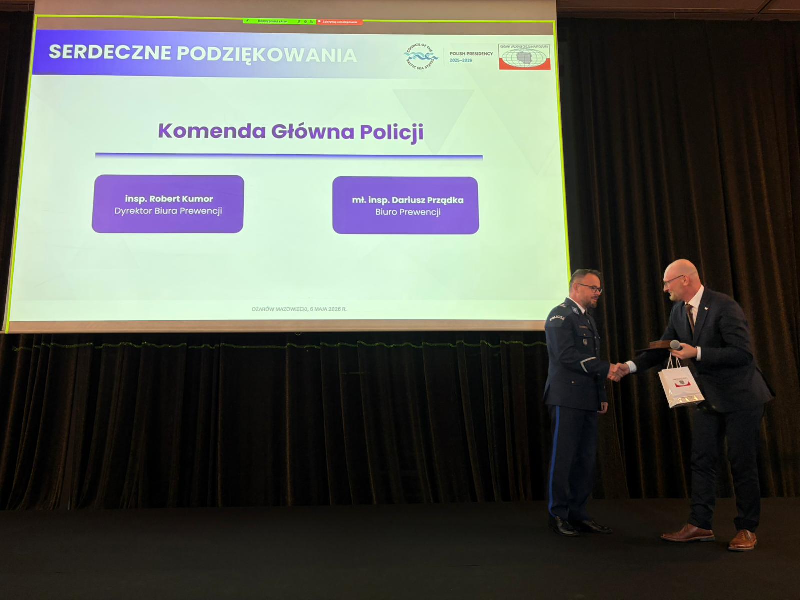
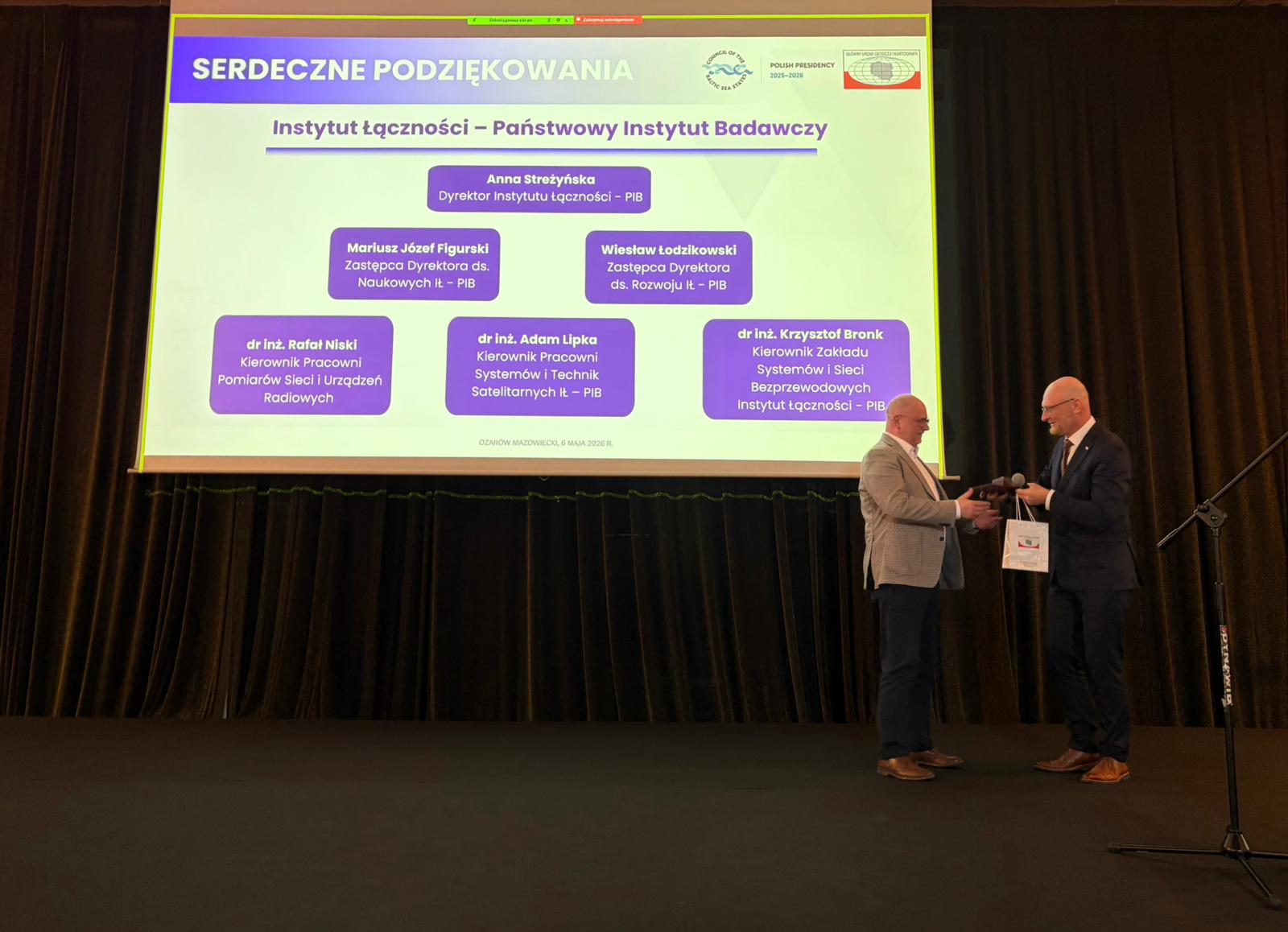
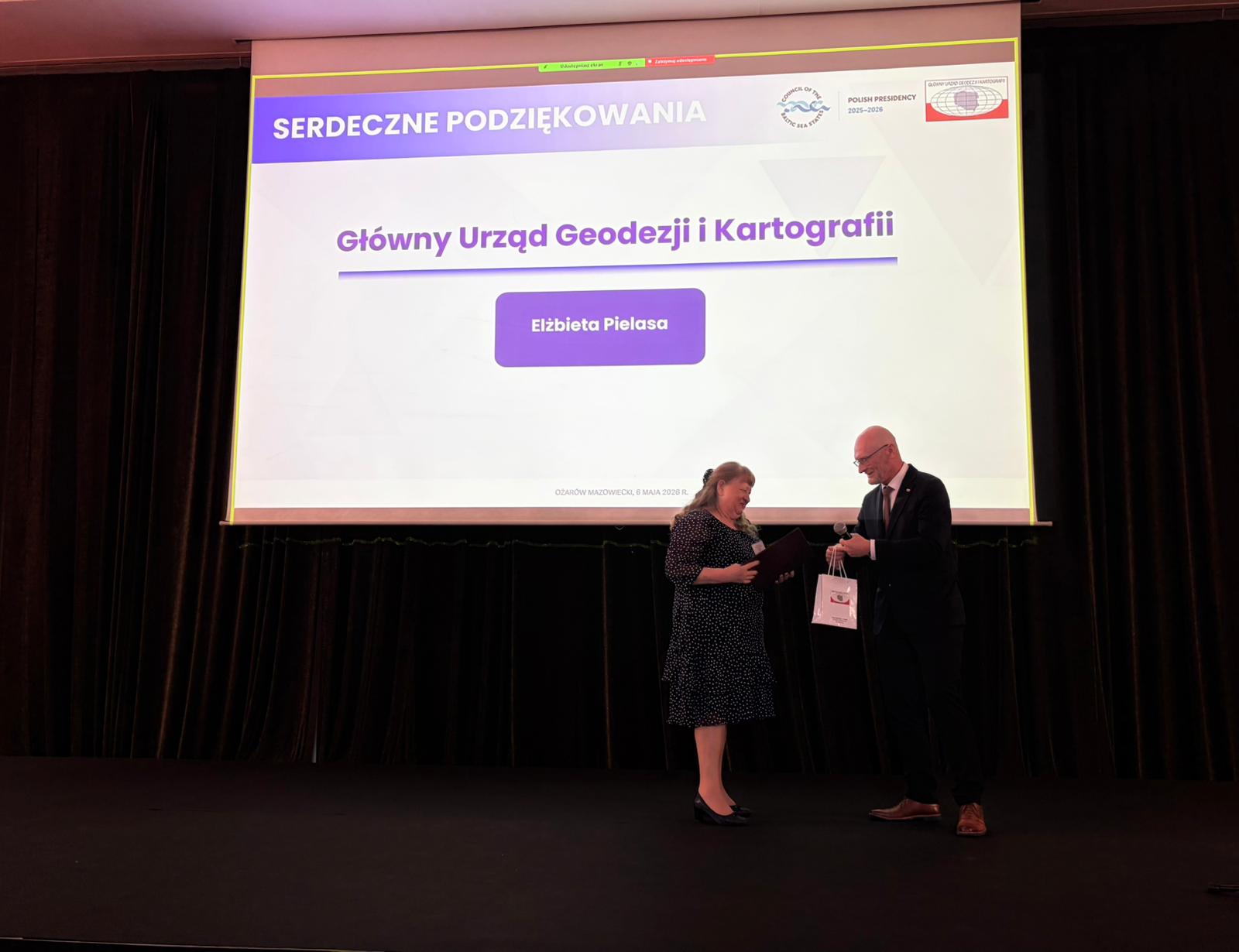
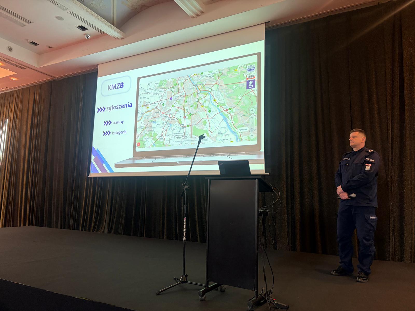
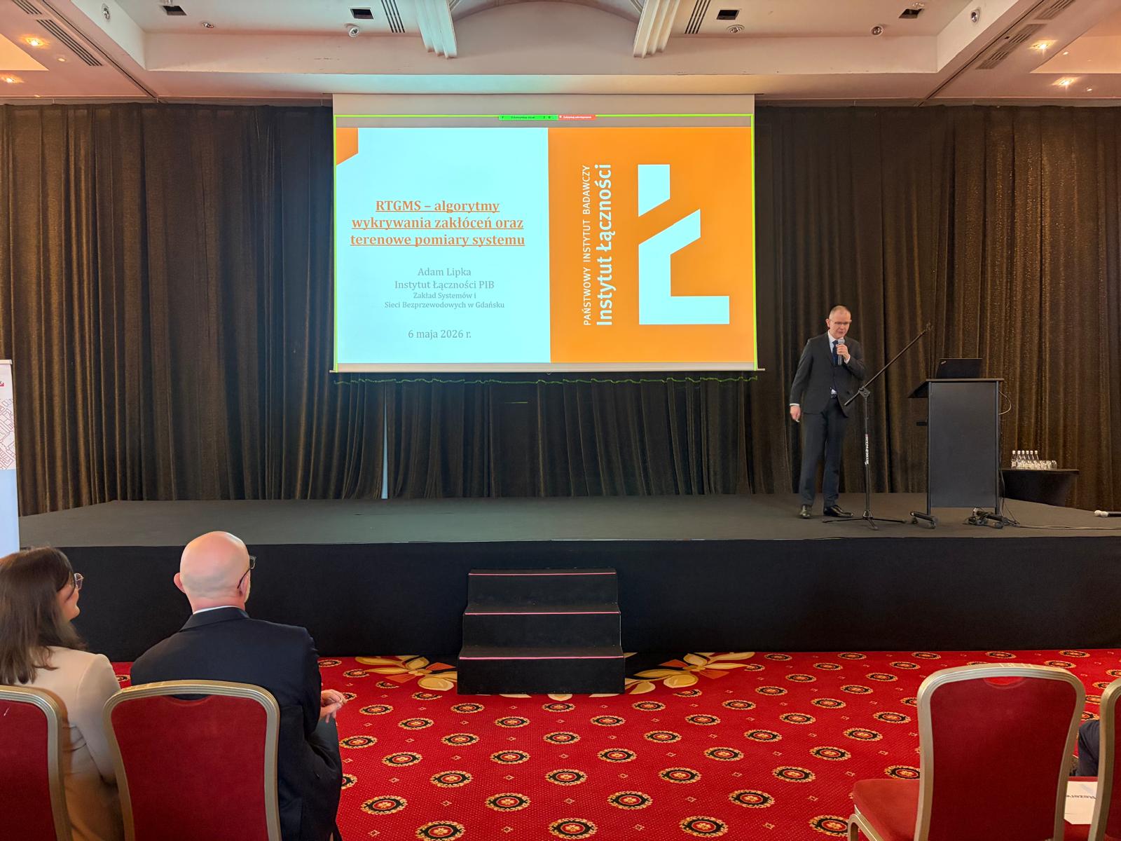
“Geodesy – More Than Just Maps and Surveys: GNSS, Public Safety, and Technologies for Industry” was the theme of the conference of the Geodetic and Cartographic Service organized by Andrzej Żylis, Surveyor General of Poland. Provincial Surveyors, Provincial Inspectors of Surveying and Cartographic Supervision, County Surveyors, and Heads of Provincial Offices of Surveying and Cartography met on May 6–7, 2026, in Ożarów Mazowiecki. The conference was held during Poland’s Presidency of the Council of the Baltic Sea States (CBSS). On the first day of the conference, they listened to a presentation by Surveyor General of Poland Andrzej Żylis on the work of Head Office of Geodesy and Cartography (GUGiK), as well as presentations by guests including: Ph. D., Eng. Tomasz Hadaś, Prof. at the Wrocław University of Environmental and Life Sciences (UPWr), Anders Martin Solberg—Research GNSS Analyst at Kartverket – Norwegian Mapping Authority, and Dmytro Makarenko, President of the Ukrainian Geodetic Service. Additionally, presentations were given by a representative of the Polish National Police on the National Safety Risk Map, Prof. Mariusz Figurski, and Dr. Adam Lipka, Eng., from The National Institute of Telecommunications – the State Research Institute, Szymon Wajda – GUGiK, and a presentation by Piotr Koczwara, Chief Surveying and Geological Engineer of The „Wieliczka” Salt Mine.
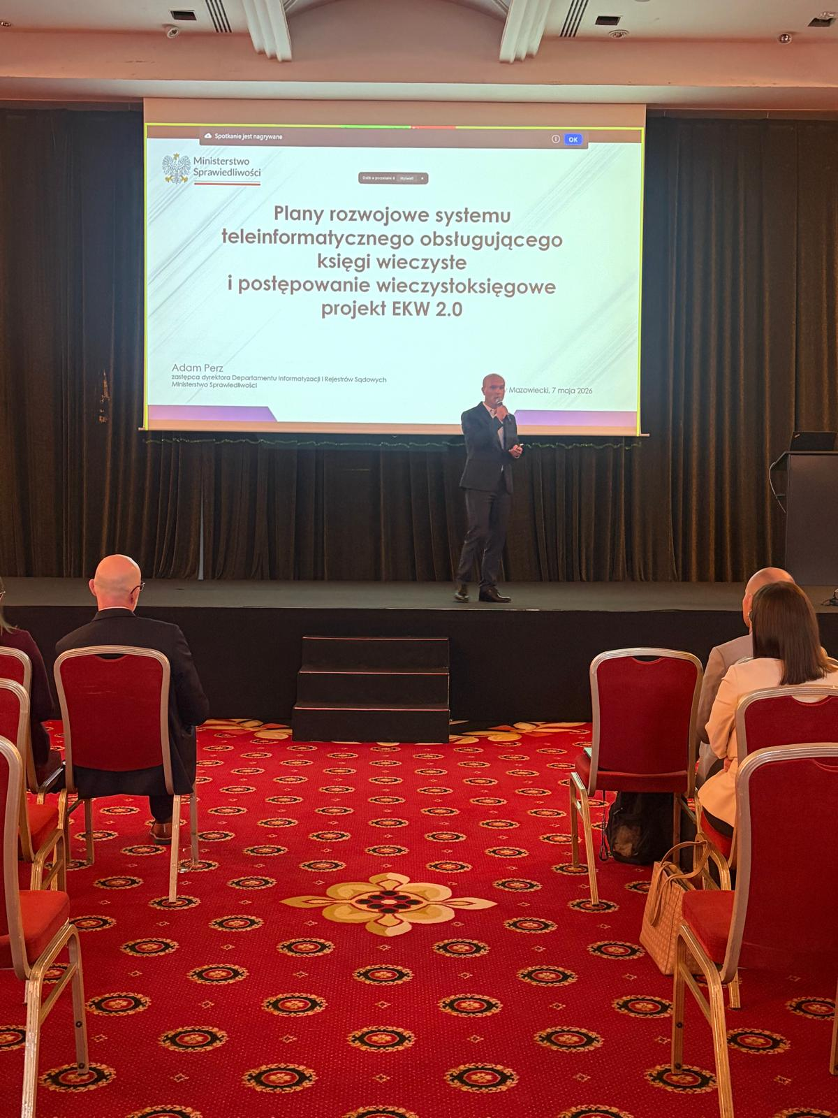
On the second day of the conference, a representative of the Ministry of Justice Republic of Poland spoke on the topic of Integrated Real Estate Information System (ZSIN). This was followed by presentations on projects led by GUGiK and on current issues facing the Geodetic and Cartographic Service.
Thank you for attending and see you soon!
Video from the Geodetic and Cartographic Service Conference.
Photos (11)
 Display photo 2 in the gallery.
 Display photo 3 in the gallery.
 Display photo 4 in the gallery.
 Display photo 5 in the gallery.
 Display photo 6 in the gallery.
 Display photo 7 in the gallery.
 Display photo 8 in the gallery.
 Display photo 9 in the gallery.
 Display photo 10 in the gallery.
 Display photo 11 in the gallery.